UAV LIDAR MAPPING IN COMPLEX SHORELINE TERRAIN
A multi-day field campaign combining flight operations, GNSS-supported positioning, field reconnaissance, and high-resolution terrain mapping.
Tuttle Creek Lake, Kansas | 2026
THE ASSIGNMENT
The work required collecting detailed geospatial information across complex shoreline terrain shaped by steep slopes, dense vegetation, variable access, and changing field conditions. The goal was to support a broader environmental assessment while maintaining consistent coverage and data quality.
MY ROLE
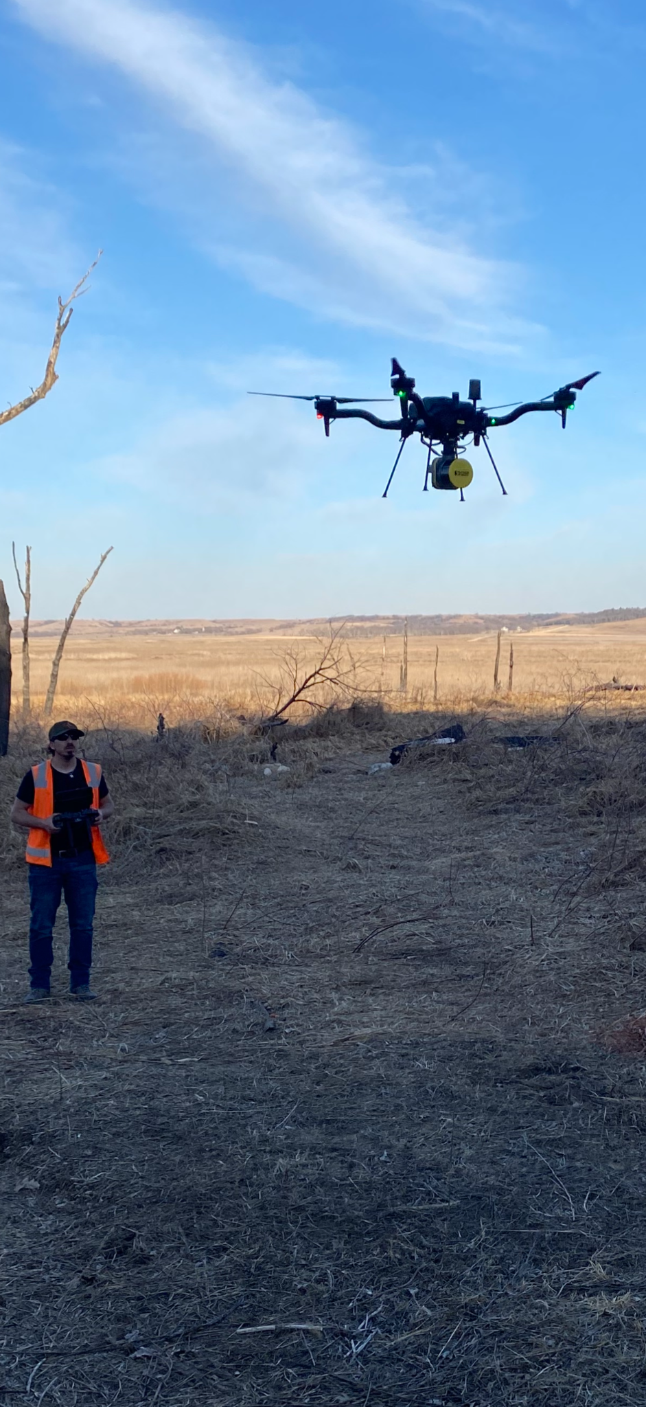
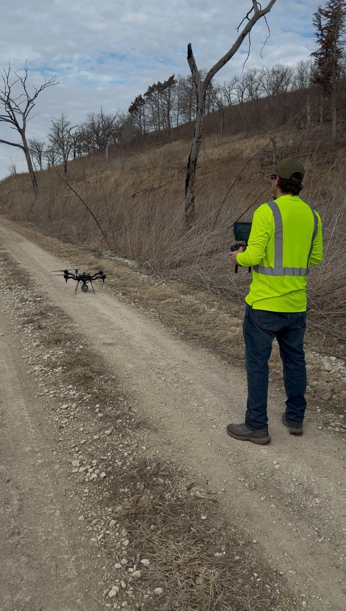
As a geoscientist and FAA Part 107 remote pilot, I helped plan and execute airborne LiDAR acquisition from a series of remote launch locations. I operated an enterprise UAV and LiDAR payload, supported GNSS-based positioning for post-processed georeferencing, and coordinated field decisions around access, terrain, vegetation, weather, and safe flight operations.
FIELD EXECUTION
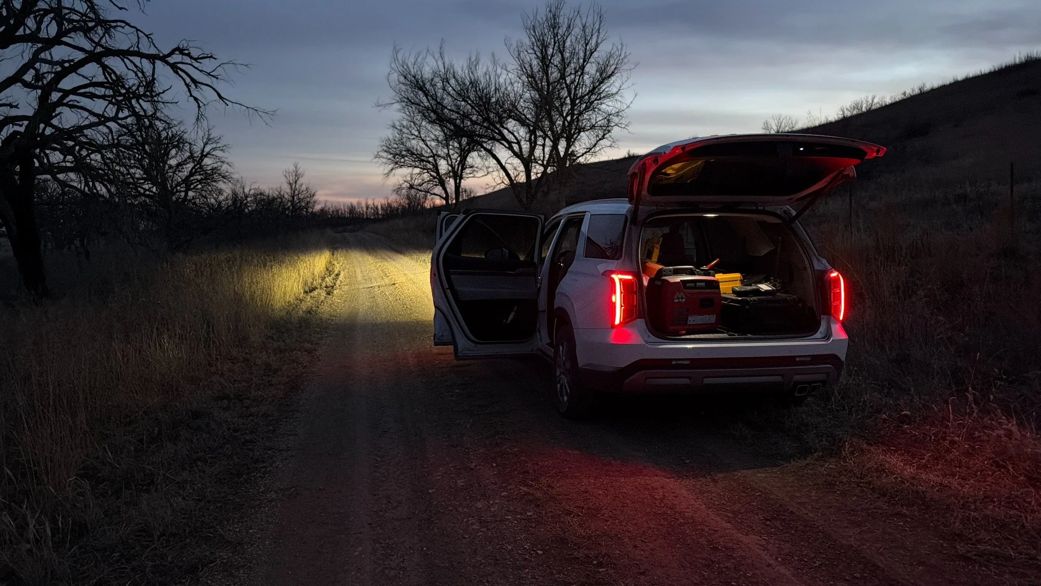
Each day required moving equipment between launch areas, evaluating takeoff and landing zones, confirming mission coverage, monitoring aircraft and payload performance, and adapting plans when terrain or field conditions changed. Supporting reconnaissance helped connect what the sensors captured from the air with the conditions observed on the ground.
FROM FIELDWORK TO GEOSPATIAL DATA
The campaign produced dense three-dimensional point-cloud information suitable for detailed terrain and shoreline analysis. My contribution connected safe aircraft operations with positioning, field observations, data organization, and quality review.
CAPABILITIES DEMONSTRATED
FAA Part 107 flight operations | UAV LiDAR acquisition | GNSS and post-processed positioning | Field reconnaissance | Mission planning | Terrain interpretation | Point-cloud workflows | Field data quality control